LiDAR, AI, and 3D printing to find 23 service members missing since 1943
A team of U.S. archaeologists is using LiDAR drones, artificial intelligence, and 3D-printed topographic models to locate the remains of 23 American soldiers missing during the July 1943 Battle of Bairoko. The project combines advanced technologies with traditional archaeology to penetrate the jungle that for eighty years has hidden the battlefield on the island of New Georgia, in the Solomon Islands.
The research is conducted by Binghamton University in collaboration with the Defense POW/MIA Accounting Agency, the Department of Defense agency dedicated to recovering missing military personnel.
The problem: reconstructing a battle beneath the jungle
Tropical vegetation has buried trenches, positions, and craters. Reconstructing unit movements requires technologies that can see through the jungle.
Eighty-three years after the fighting, the battlefield still exists but is invisible. Palm trees, tropical vegetation, and swampy terrain completely cover trenches, trails, machine-gun positions, and individual foxholes.
The problem is not just knowing where the fighting took place. One must reconstruct where each unit was at a specific moment in the battle. The battle of July 20, 1943 saw Marine Raiders and U.S. Army units advance through jungle, swamps, and lagoons against Japanese fortifications.
The attack failed and American forces had to withdraw under intense fire. During the retreat, some of the fallen were not recovered. Small groups may have carried out temporary burials along movement routes.
- 23 U.S. service members missing in the Battle of Bairoko (July 1943)
- Drone LiDAR penetrates tropical vegetation to map the original terrain
- Printed 3D models help visualize the historical topography
- AI analyzes military documents and geographic data to locate search areas
The technological workflow: from LiDAR to 3D printing
Carl Lipo and Thomas Pingel of Binghamton University lead a team that integrates aerial scanning, GIS, and additive manufacturing to create physical representations of the battlefield.
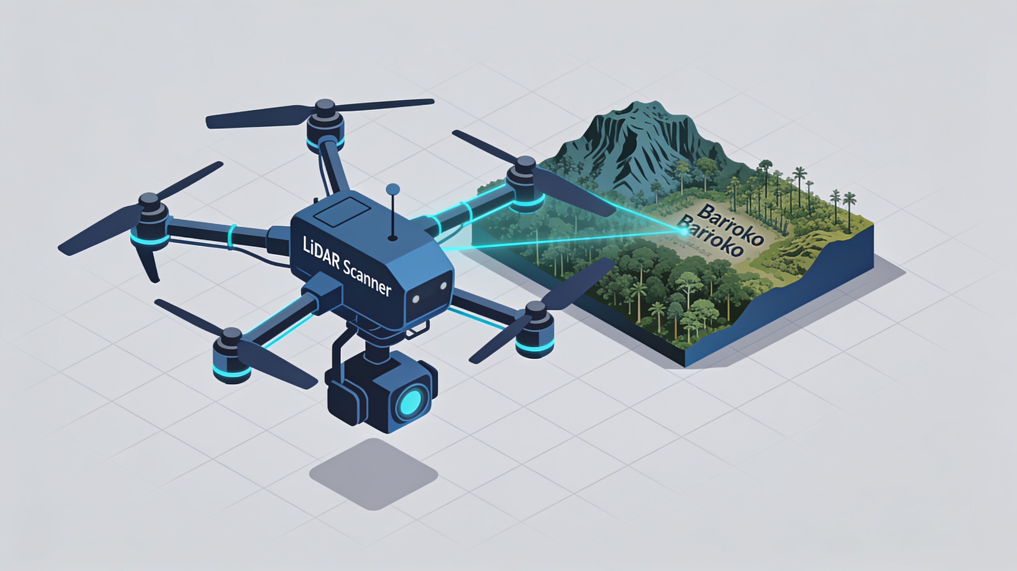
The project uses drone-mounted LiDAR provided by local partner Kahuto Pacific. The laser technology penetrates vegetation and captures the original topography of the terrain, revealing buried military structures.
LiDAR data is processed through GIS (Geographic Information Systems) and artificial intelligence-assisted analysis. The AI cross-references the scans with historical military documents, period maps, and testimonies to reconstruct unit movements.
Three-dimensional representations printed in 3D translate digital data into physical topographic models. These models allow archaeologists to visualize the battlefield, plan excavations, and identify priority areas for research.
Fieldwork combines traditional archaeology with geophysical techniques such as magnetometry, which detects magnetic field anomalies caused by buried metallic materials.
International collaboration and field research
The project involves the Defense POW/MIA Accounting Agency, the International Archaeology Research Institute, and partners from the Solomon Islands.
The Defense POW/MIA Accounting Agency coordinates search and identification operations. The Department of Defense agency is responsible for recovering missing service members from all past conflicts.
The International Archaeology Research Institute collaborates on field verifications. Students such as Lily Burstein participated in the digitization of historical maps and the reconstruction of unit positions.
Airborne LiDAR can penetrate up to 90% of the vegetation cover in tropical environments, revealing microtopographies invisible to the naked eye. The resolution reaches a few centimeters, sufficient to identify trenches and individual positions.
Applications of 3D printing in battlefield archaeology
3D-printed topographic models transform abstract data into tangible tools for planning and analysis.
Additive manufacturing plays a specific role in data visualization. Physical models allow researchers to simultaneously examine topography, documented positions, and detected anomalies.
This application of 3D printing in archaeological and military contexts demonstrates how technology can support humanitarian missions. The recovery of missing persons represents a priority for families and for historical memory.
The project on the Battle of Bairoko establishes a methodological precedent. The combination of LiDAR, AI, GIS, and 3D printing can be replicated in other theaters of war where thousands of service members remain missing.
article written with the help of artificial intelligence systems
Q&A
How many U.S. service members are the subject of the search at Bairoko?
The project aims to locate the remains of 23 American soldiers missing during the July 1943 Battle of Bairoko. Some of the fallen were not recovered during the retreat under intense fire.
Who is conducting the search for the missing from Bairoko?
The search is being conducted by Binghamton University in collaboration with the Defense POW/MIA Accounting Agency, the Department of Defense agency dedicated to recovering missing service members.
How is LiDAR being used to map the battlefield?
The drone-mounted LiDAR, provided by local partner Kahuto Pacific, penetrates the tropical vegetation and captures the original topography of the terrain. In this way it reveals trenches, positions, and military structures buried by the jungle.
What is artificial intelligence used for in the project?
The AI cross-references the LiDAR scans with historical military documents, period maps, and testimonies. The goal is to reconstruct unit movements during the battle and identify search areas.
Why are 3D-printed topographic models used?
The three-dimensional representations printed in 3D translate the LiDAR and GIS digital data into physical models of the battlefield. These models help the team visualize the historical topography and plan searches on the ground.